
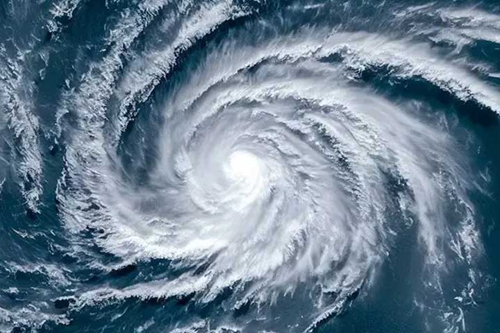
The low pressure in the western-central area of the ocean has turned into a low pressure, which has resulted in turbulent turbulence. It is becoming more concentrated and cyclone. If the cyclone is turned into a cyclone, it will be called ‘Hammun’. It may also hit the coast of Bangladesh on Thursday (October 22).
It is currently in the form of low pressure in the sea, which is expected to become a deep depression in the next 24 hours. The weather department is not sure whether the deep depression will come towards the coast of Bangladesh or India or if it is weak in the sea, the weathermen cannot say for sure.
The weather office says that the weather will be in the Arabian Sea and Bay of Bengal simultaneously due to the impact of deep depression. The low pressure will be raining for the next few days in the Middle East, India and Bangladesh. The low pressure is 925 km from the sea port, 935 km from Mongla seaport, 985 km from Cox's Bazar seaport and 1400 km from Chittagong sea port.
The weathermen also say that it may change from Monday to the north-west, but it may turn north and north-east towards the land of Bangladesh in the north and northeast. This may lead to rainfall in the country from the afternoon, especially the coastal districts of Chittagong, Barisal and Khulna.
But experts do not see any fear of ‘Hamun’ being too strong, they believe it could cross the coast as a normal cyclone.
Director of the Department of Weather. Azizur Rahman said, "It is moving north-eastwards by Monday, and now it will move north and northeast in Mo ০১১১১১১১১১১১১১১১১১১১১১১১১১�
Director of the Department of Weather. Azizur Rahman said, ‘If the low pressure is turned into a cyclone, it will be called ’Hammun'. All the indicators say it could be a normal cyclone. He added that the warning signal is likely to be between 5, 6 and 7. We do not see any possibility of the issue of the major danger signal yet."
Meteorologist Abdur Rahman said, "The system is weak in the Arabian Sea, if it is weak, the system formed in the Bay of Bengal will be strong, but the Bay of Bengal may be a very simple (marginal) cyclone. It is now moving very slowly, but the speed of the movement may be slower."
The Department of Weather says that if the cyclone ‘Hammun’ is created, it will be the second cyclone of the year. Before that, the first cyclone ‘Mokha’ was weak in Bangladesh last year. Last year also another cyclone ‘Sitrang’ was affected by high tide and tidal waves in Bangladesh.
The name ‘Hamun’ has been given by Iranian weathermen. The Persian word ‘Hammun’ means a small monster. Usually, the name of the cyclone created in different seas is determined by the World Weather Organization.