
On 12 regions of the country including the capital Dhaka The weather department has said that it can flow at a speed of 60 kmph, and there may be rain with thunder.
This information has been informed in a forecast of Deota for the inland river ports of the country till 9 am on Sunday (May 19th).
According to the forecast, Tangail, Dhaka, Faridpur, Jessore, Khulna, Barisal, Pattukhali, Comilla, Notakhali, Chittagong, Cox's Bazar and Sylhet regions can be rained or thundered with rain or thundershowers with rain or thundershowers.
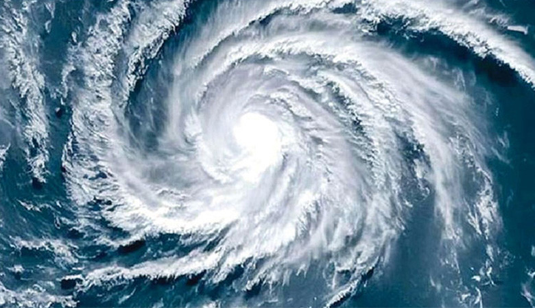
Meanwhile, the eyes are colored by the cyclone ‘Remal’. It is feared that damage like Aila and Amphan may be caused by the cyclone after 25th May. The cyclone may hit West Bengal and Bangladesh.
Cyclone ‘Remal’ is named Oman, which means sand in Arabic. Of course, a city has also been placed 1.7 kilometers from Gaza in Palestine under the name of this, but it is not clear how much the storm will be.
The weather office knows that the temperature of the sea under the sea to create the cyclone is 26.5 degrees Celsius. This temperature should be at least 50 meters depth. Currently, the temperature of the sea water is close to 30-31 degrees Celsius. This hot water is considered the ‘chalikar’ of cyclonic power.
Meteorologist Omar Farooq said, "So far, its movement is towards India's Udishya." It cannot be said that it will hit Bangladesh until it is ready. What or not, but it may come to the coast around the 27th.
Meteorologists say Remal can be as devastating as Amphan, but how much power it will eventually take a swift motion to know if it will eventually turn into a super cyclone.
The University of Canada's Saskatchetan University has been working toward the climate and the climate and the water flow, the pursuit of the purported, the purported, the purported, the purported, the sweeping, the current, the current year, the current, the current year, the current year, the current year, the current year, the current year, the current year, the current year, the current year, the current year, the current year, the current year, the current year, the current year.
Analyzing the various weather models, the researcher said that all models of the weather are indicating a low pressure in the south central Bay of Bengal, which may occur between 21 May and 23rd May. Then on 24th May, the full cyclone can gain strength.
He said that if the vortex is remed Andhra Pradesh and Ujisha hit the coast between the Indian state of Andhra Pradesh, but the possibility of land injury will be likely between 25th May and 26th May evening. The coast between Barisal and Khulna divisions of Bangladesh and West Bengal of India hit the land on the ground, but the possible sum would be between 12 noon and 27th May evening.
It should be noted that on May 21, 2009, the country's coast was hit. It was a huge loss to the farmers of the country.